Controlled Test Holes
Carefully planned test-hole locations are established at conflict points, crossings, tie-ins, and other critical locations identified with the design team.
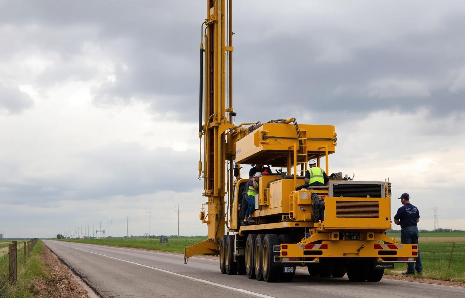
Precise, project-specific utility information obtained through physical exposure and verification of underground utilities at critical locations — not simple utility locating.
CSL provides Level A Subsurface Utility Engineering services to physically expose and verify underground utilities at critical project locations. Through carefully controlled test holes and vacuum-excavation methods, our team helps establish the precise horizontal and vertical position of existing utilities while documenting available information such as depth, size, type, material, and condition. These services help project owners, engineers, contractors, developers, and public agencies reduce utility conflicts, improve design accuracy, support constructability, and minimize costly delays, damage, redesign, and change orders.
Level A SUE Services are performed by an MBE/DBE-certified professional engineering firm (Texas Firm No. F-29543) and coordinated with the project's survey, design, permitting, and construction teams.
Carefully planned test-hole locations are established at conflict points, crossings, tie-ins, and other critical locations identified with the design team.
Nondestructive vacuum-excavation methods expose the utility without damaging the line, its coating, or surrounding infrastructure.
Horizontal and vertical position, depth of cover, outside diameter, type, material, and condition are measured and documented when determinable.
Each exposure is tied to project survey control so the verified data drops directly into the design plan set.
Field documentation, photographs, and test-hole data sheets are compiled into a clear deliverable for engineers, contractors, and owners.
Verified data supports conflict matrices, redesign decisions, bore profile adjustments, and constructability reviews before crews mobilize.
Level A SUE Services support roadway and transportation corridors, water and wastewater programs, electric and gas utility work, fiber and telecommunications routes, energy and power generation sites, data center campuses, commercial and industrial development, residential and private-property projects, and municipal, county, state, and federal infrastructure.
Verified utility data is routinely paired with our utility coordination, directional drilling, permitting coordination, and construction management services so that a single team carries the information from field exposure through design decision and installation.
Tell us the corridor, the conflict, or the number of anticipated test holes — we'll scope the Level A SUE work and the reporting your design and construction teams need.